
ASTERIX Category 008 - Monoradar Derived Weather Information
Transmission of monoradar derived weather information. More...
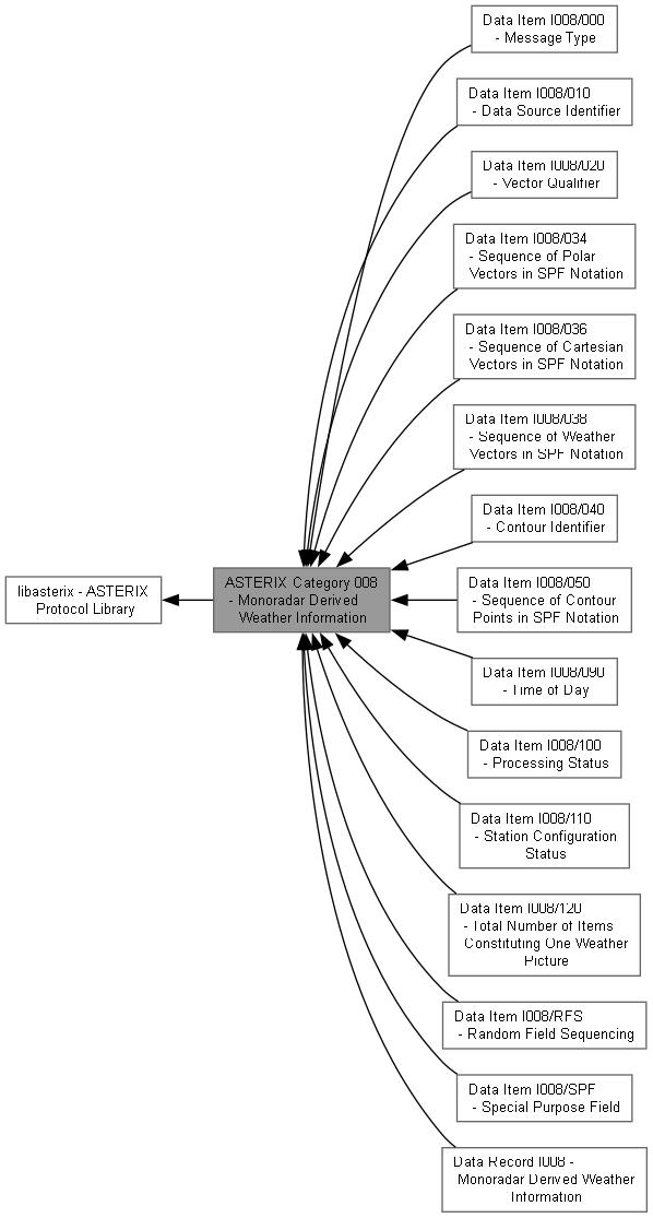
Collaboration diagram for ASTERIX Category 008 - Monoradar Derived Weather Information:
Topics | |
| Data Item I008/000 - Message Type | |
| Type of weather message. | |
| Data Item I008/010 - Data Source Identifier | |
| Identification of the radar station from which the data are received. | |
| Data Item I008/020 - Vector Qualifier | |
| Precipitation intensity level, shading orientation and coordinate system. | |
| Data Item I008/034 - Sequence of Polar Vectors in SPF Notation | |
| Sequence of weather vectors in local polar coordinates. | |
| Data Item I008/036 - Sequence of Cartesian Vectors in SPF Notation | |
| Sequence of weather vectors in start point/length representation. | |
| Data Item I008/038 - Sequence of Weather Vectors in SPF Notation | |
| Sequence of weather vectors in start point/end point representation. | |
| Data Item I008/040 - Contour Identifier | |
| Contour serial number with precipitation intensity levels. | |
| Data Item I008/050 - Sequence of Contour Points in SPF Notation | |
| Cartesian coordinates of points defining a contour. | |
| Data Item I008/090 - Time of Day | |
| Absolute time stamping expressed as UTC time. | |
| Data Item I008/100 - Processing Status | |
| Information concerning the scaling factor and processing parameters. | |
| Data Item I008/110 - Station Configuration Status | |
| Information concerning use and status of vital hardware components. | |
| Data Item I008/120 - Total Number of Items Constituting One Weather Picture | |
| Total number of vectors or contour points in the weather image (EOP message). | |
| Data Item I008/SPF - Special Purpose Field | |
| Special purpose field (FRN 13 SP Indicator). | |
| Data Item I008/RFS - Random Field Sequencing | |
| Random field sequencing field (FRN 14 RFS Indicator). | |
| Data Record I008 - Monoradar Derived Weather Information | |
| Complete data record for Category 008 messages. | |
Detailed Description
Transmission of monoradar derived weather information.
- Overview:
- This category defines the transmission of relatively simple meteorological images of precipitation areas of various intensity levels from a radar station to one or more Radar Data Processing (RDP) systems.
Weather data representations:
- Polar Vectors: Shaded areas expressed in local polar coordinates
- Cartesian Vectors: Parallel vectors in cartesian coordinate system
- Contours: Consecutive summit points defining closed area contours
Control messages:
- Start of Picture (SOP): Signals start of new data renewal cycle
- End of Picture (EOP): Signals end of data renewal cycle
- Message Types (I008/000):
- 1: Polar vector
- 2: Cartesian vector of start point/length
- 3: Contour record
- 4: Cartesian start point and end point vector
- 254: SOP message
- 255: EOP message
- Data Items:
- I008/000 Message Type
- I008/010 Data Source Identifier
- I008/020 Vector Qualifier
- I008/034 Sequence of Polar Vectors in SPF Notation
- I008/036 Sequence of Cartesian Vectors in SPF Notation
- I008/038 Sequence of Weather Vectors in SPF Notation
- I008/040 Contour Identifier
- I008/050 Sequence of Contour Points in SPF Notation
- I008/090 Time of Day
- I008/100 Processing Status
- I008/110 Station Configuration Status
- I008/120 Total Number of Items Constituting One Weather Picture
- I008/SPF Special Purpose Field
- I008/RFS Random Field Sequencing
- Scaling Factor:
- Data items expressing a distance (I008/034, I008/036, I008/038 and I008/050) are decoded into raw integer values. The real value in NM is the raw value multiplied by the LSB 2^(-7+f) NM (range) respectively 2^(-6+f) NM (length and coordinates), where the scaling factor f is a parameter of the SOP message (Data Item I008/100).
Copyright 2008-2026 SinoATC